Research
Precision seeding relates to accurate seed metering and placement at a precise spacing and depth in the furrow at planting. In row-crops, precision seeding is important to attain timely and uniform emergence, which maximizes yield potential early in the season. Many factors including planter components, their setup and operation, field conditions, and planting speed can influence seed metering and placement. Currently, numerous planting technologies are also available to be utilized on row-crop planters to improve their seeding performance.
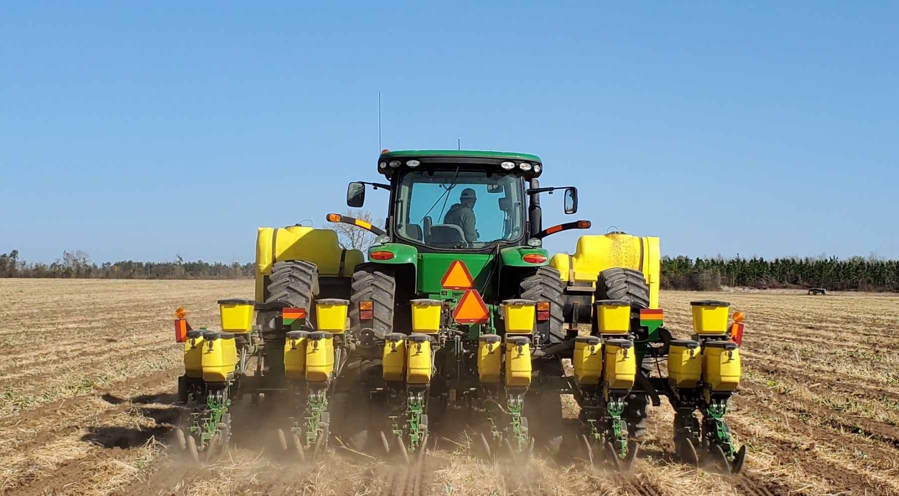
Our research in precision seeding is focused in two main areas:
- Evaluating the effect of different planter settings and operational parameters on seed metering and placement to provide recommendations on proper planter setup and operation to maximize planting performance
- Assessing performance and benefits of latest planting technologies in varying field conditions to learn and share information about their effective utilization for improving seeding performance
Some of the projects we had or currently working on in precision seeding are listed below:
- Comparative performance of traditional and advanced seed metering systems at varying seeding rates and ground speeds
- Evaluating in-field performance of advanced seed delivery systems at increased planting speeds
- Assessing seed depth variability for traditional depth control systems and evaluating performance of advanced depth control systems to minimize depth variations
- Seed singulation and spacing quality assessment of commonly used seed meters at varying rotational speeds (rpm) and vacuum pressures
- Influence of planter downforce on seed placement, crop emergence and yield in corn, cotton and peanut
- Planter downforce evaluation in varying soil textures in large-scale fields and assessing its influence on crop emergence
Variable-rate (VR) technologies allow site-specific application of crop inputs so they can be precisely matched with soil or crop requirements within a field. These technologies include sensors and rate control systems on application equipment to vary the amount of product based on a prescription map or sensed soil/crop properties in real-time. VR technologies helps in more efficient application of crop inputs by reducing over-application in certain parts of the field, thus also improving environmental sustainability. Some of the common applications of VR technology in precision agriculture currently are for varying the fertilizer and seeding rates based on pre-defined grid or management zones within the fields.
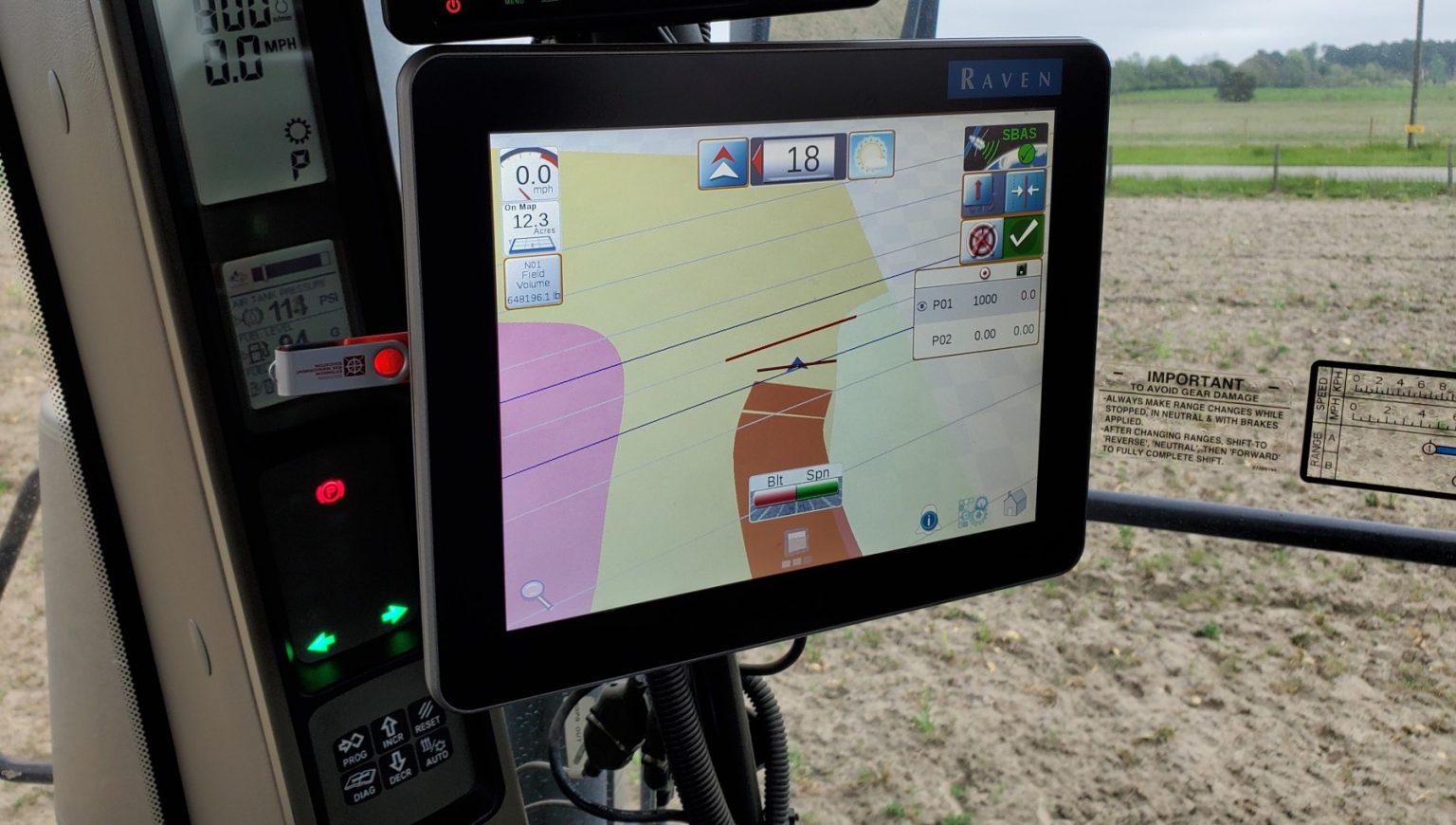
Our research on VR technologies is focused in two main areas:
- Utilizing different soil and crop spatial properties for delineation of management zones that can be used to informed VR application of crop inputs
- Evaluating the performance of current VR technologies on application equipment to improve the application accuracy of crop inputs
We are working on several projects related to VR technology and its applications. Few of them are listed below:
- Evaluating the influence of different soil sampling grid sizes on application accuracy and economics of VR lime and fertilizer applications in row-crops
- Investigating the potential of different soil and crop spatial data to delineate management zones for VR fertilizer and seeding applications
- Assessing performance of VR technologies on dry broadcast fertilizer spreaders to evaluate their response time and application accuracy during rate transitions
- Evaluating performance of latest VR seeding technologies on row-crop planters at different seeding rates and ground speeds
- Comparing performance of rate control and pulse width modulation (PWM) systems on agricultural sprayers for VR pesticide applications
Maximizing crop productivity requires precision crop management throughout the season – from planting until harvest. Precision crop management relates to precise application of products at the right rate, at the right place and at the right time during the season. It also involves utilizing different techniques such as remote sensing or crop/soil sensors to inform timely and site-specific application of nutrients, crop protection products, plant growth regulators and/or harvest aids. The availability of precision technologies on application equipment paired with high-resolution in-season satellite/UAS imagery and advanced sensors have greatly improved the capabilities for precision management of crops today.
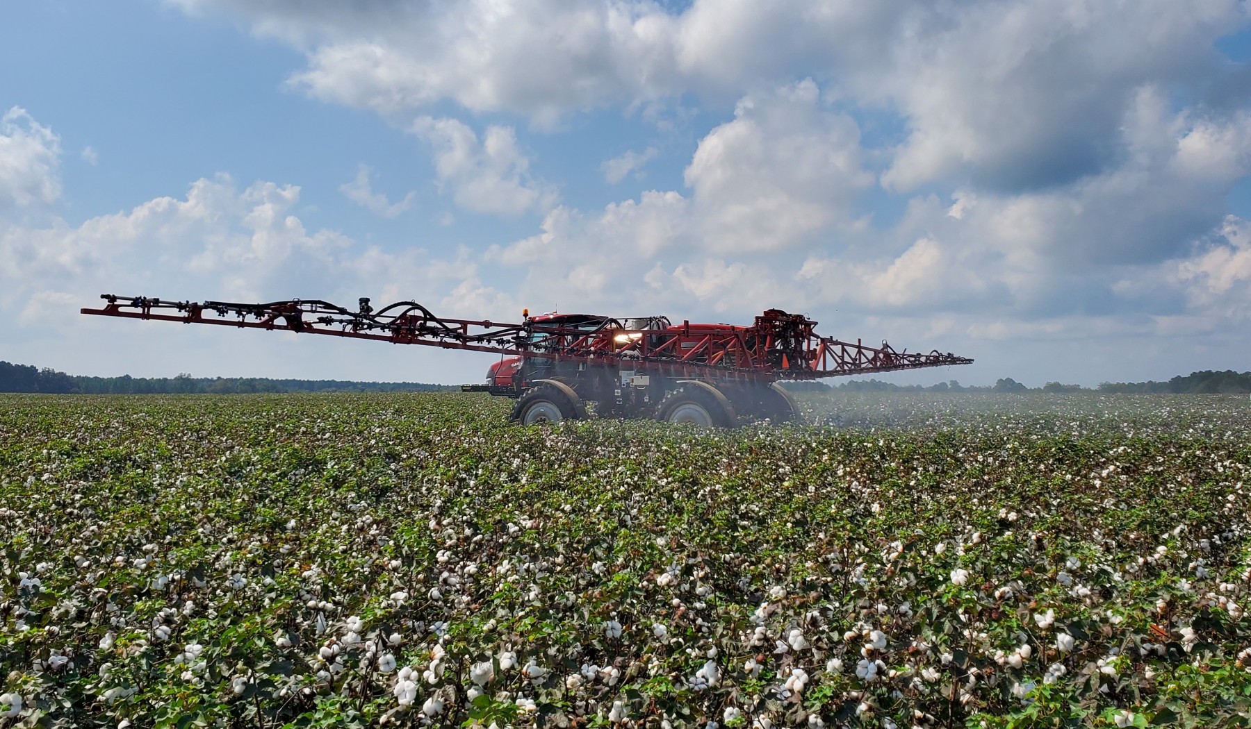
Our programs’ research focuses on different aspects of precision management in row-crops, mainly corn, cotton and peanut. Some of the ongoing projects in this area are:
- Comparative performance of high-resolution UAS imagery and real-time sensor-based site-specific weed management in row-crops
- Utilizing in-season satellite imagery to guide site-specific PGR applications in cotton
- Exploring the potential of different soil and crop spatial properties to inform in-season fertilizer applications in row crops
- Evaluating different in-season fertilizer placement methods (nitrogen and potassium) in corn and cotton
- In-season application of crop protection products (fungicides and insecticides) using UAS sprayers in corn, cotton and peanut
Harvest technologies include sensors and other components installed on harvest equipment to measure crop mass flow and provide spatial yield estimates within the field. Grain and cotton yield monitors are commonly utilized harvest technologies in row-crop production. Yield maps provide valuable information regarding spatial yield variability within the fields and how crop management decisions can be adjusted in the following year to maximize productivity across the whole field. Proper setup, calibration and utilization of harvest technologies is important to collect quality yield data.
Our work on harvest technologies mainly focuses on understanding different yield monitoring and mapping errors that occurs during harvest and assessing the accuracy of yield data.
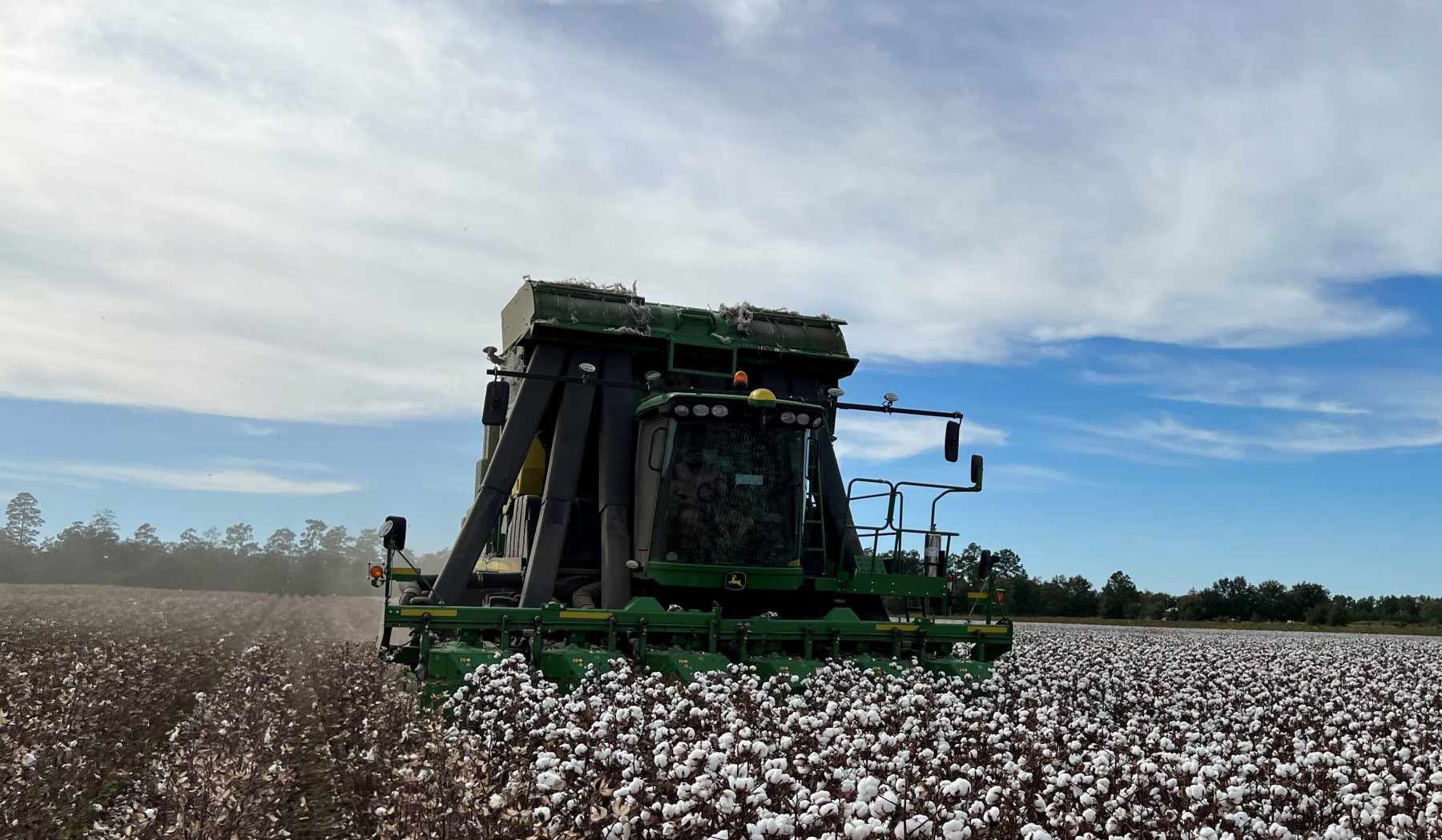
The projects that are currently underway in this area are:
- Using onboard module weighing system on new cotton harvest machinery (CP 690/770) to improve accuracy of yield estimates and mapping
- Influence of different crop and machine factors including variety and harvest speed on yield mapping accuracy and harvest loss
- Evaluating the potential of computer vision and artificial intelligence to estimate harvest loss in cotton and peanut
The availability of GPS and different type of sensors on modern agricultural machinery enables collection of tons of geo-referenced spatial data related to different field and machine operations. Data management relates to storing, organizing and managing different spatial (and non-spatial) records related to fields, crops and operations so it can be monitored, accessed and analyzed to track production activities across the farm. Data analytics involves analyzing these spatial datasets to evaluate performance and productivity of machines/operations, create prescription maps for site-specific application of crop inputs, perform yield analysis to understand crop productivity, create expense and budget reports, and many more other functions. Many desktop, mobile and online farm management information system (FMIS) options are available today for data management and analysis.
In our program, we utilize different types of FMIS’s regularly for handling and analysis of spatial data layers including soil sampling plans, variable-rate fertilizer and seeding prescriptions, as-applied maps, aerial imagery and yield mapping. Data management and analysis is an integral part of planning and analyzing spatial data sets from both small-plot and on-farm research trials.
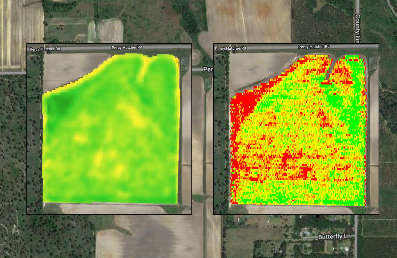
Some of the ongoing work in this area includes:
- Comparing different data interpolation techniques for mapping spatial soil and crop attributes to improve depiction and application accuracy
- Exploring the utility of latest mobile and online FMIS options for tracking crop performance and site-specific crop management during the season
- Tracking and improving data transfer and exchange (portability and interoperability) among different ag technologies/systems and within FMIS’s.
Unmanned aerial system (UAS) refers to any air-borne vehicle and attached sensors that are operated remotely by a pilot or fly autonomously. The application of UAS’s in agriculture have expanded rapidly in recent years from remote sensing for in-season crop management to application of dry granular and crop protection products. Many different types of UAS platforms and sensors with varying capabilities are available and being utilized currently for remote sensing and other applications in precision agriculture.
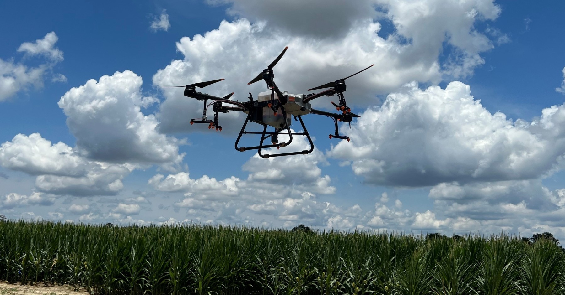
In our program, the research with UAS is broadly focused in two main areas:
- Evaluating application of different sensors (visual, multispectral and thermal) equipped on UAS for detection and identification of soil and crop properties of interest
- Assessing performance of application systems on UAS sprayers and spreaders to inform best management practices for their effective utilization
We are currently utilizing several UAS platforms in projects related to remote sensing and product applications. Some of the ongoing projects are listed below:
- Stand count assessments using visual and multispectral imagery in corn, cotton and peanut
- Utilizing visual and multispectral imagery for estimating yield-determining physiological parameters and predicting yield in cotton
- Investigating potential of high-resolution aerial imagery for weed detection and prescriptive pesticide applications
- Evaluating the influence of different parameters (speed, height and nozzle type) on application performance of pesticide and granular applications with UAS
- Spray coverage and swath assessment for different commercially available UAS sprayers

